What is Drone Mapping? Terrific Technology for Photographers
What is drone mapping? Its an innovative process that combines aerial photography with mapping technologies to produce highly detailed topographic maps, 3D models, and digital terrain models. For professional photographers looking to expand their skill set, understanding this technology can be life-changing.
As a professional photographer, knowing how to utilize drone mapping can truly elevate your projects. Imagine being able to capture stunning aerial images while also producing detailed maps for construction, real estate, or agricultural use.

Understanding the Basics of Drone Mapping
At its core, drone mapping involves using a drone equipped with cameras to collect aerial data. This data is then processed to create maps or 3D models. Photographers can harness this technology to incorporate detailed aerial views into their portfolios or commercial work.
Most professional photographers are familiar with photographic techniques, but drone mapping introduces a new realm of technical skills. From flying the drone to operating mapping software, there are 'Terrific' opportunities to explore your creativity and enhance your projects.
Key Components of Drone Mapping
The process is quite intricate and involves various components. Here are some essential elements that you should be aware of:
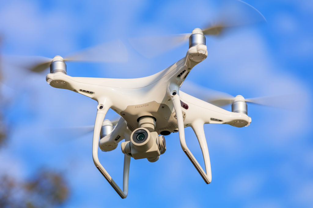
- Drone Hardware: High-resolution cameras are essential for capturing data. Drones often use RGB cameras or multispectral sensors depending on the requirements.
- Flight Planning Software: Applications such as DroneDeploy, Pix4D, and others can help you plan your flights, ensuring the drone covers the required area.
- Post-Processing Software: After the data is captured, it needs to be processed using software to compile the images and create a coherent map.
Applications of Drone Mapping in Photography
For photographers, drone mapping offers various applications across different industries. Here are some remarkable ways you can utilize this technology:
1. Real Estate Photography
With the competitive nature of the real estate market, having high-quality aerial images can be a game-changer. Utilization of drone mapping allows you to provide potential buyers with comprehensive views of properties and surrounding areas.
2. Construction and Land Surveying
Photographers can collaborate with construction companies to create aerial mapping for project monitoring and progress tracking. This adds immense value to your services and enhances your portfolio with technical expertise.
3. Agriculture and Environmental Study
Farmers utilize drone mapping for crop health monitoring and land management. For photographers, getting involved in agricultural projects can provide new opportunities for unique photography.
4. Event Coverage
Imagine capturing event coverage from a bird's-eye view. Drone mapping is perfect for photographing weddings, festivals, and corporate events, providing clients with astonishing visuals.
Legal Considerations for Drone Photography
As you start your journey into drone mapping, its crucial to understand the legal landscape surrounding drone use. For detailed guidance, refer to the drone laws in the USA. Familiarizing yourself with local regulations will ensure smooth operations and avoid legal complications.
Safety Practices for Drone Pilots
Along with legal considerations, safety is paramount. Professional photographers must be aware of safe flying practices, including but not limited to:
- Maintaining visual line-of-sight of the drone.
- Flying in appropriate weather conditions.
- Staying clear of no-fly zones, including populated areas and airports.
Tips for Capturing Stunning Aerial Images
Successfully executing drone mapping requires skills not only in flying but also in composition and exposure. Here are a few tips for taking stunning aerial photographs:
- Plan Your Shot: Use the planning software to set your flight paths and capture the best angles.
- Understand Lighting: Timing your flights for golden hour can produce incredible lighting for your images.
- Experiment with Different Altitudes: Varying your altitude can dramatically change the perspective of your photographs.
Post-Processing Your Aerial Images
Once captured, processing your images is an essential step. Utilize editing software like Adobe Lightroom or Photoshop to enhance your aerial images. Adjustments in contrast, color grading, and sharpening can make your images pop.
Conclusion
So, what is drone mapping? Its an innovative and exciting field that combines photography with advanced mapping techniques. As a professional photographer, integrating drone mapping into your skillset can unlock new opportunities and elevate your portfolio to new heights.
Don't hesitate to experiment with this remarkable technology. It promises to offer endless creative possibilities while drastically improving the quality of your work. Whether you are shooting for a commercial client or simply expanding your horizons, embrace drone mapping as your next big leap in photography.

FAQ Section
1. What equipment do I need for drone mapping?
You will need a quality drone equipped with a high-resolution camera and suitable software for flight planning and mapping processing.
2. Is drone mapping legal everywhere?
No, drone laws vary by region. Always check local regulations before flying your drone, especially in sensitive areas.
3. Can I make money with drone mapping?
Absolutely! Many industries, including real estate and agriculture, require aerial mapping services, creating lucrative opportunities for photographers.
As an Amazon Associate, I earn from qualifying purchases.

